


...EXCESSIVE HEAT WARNING REMAINS IN EFFECT UNTIL 10 PM PDT
WEDNESDAY...

* WHAT...Dangerously hot conditions with limited overnight relief.
Afternoon high temperatures of 95 to 110 degrees. Overnight low
temperatures in the mid-50s to lower 70s. This will pose a major
risk of heat-related illness.

* WHERE...Central Oregon and John Day Basin.

* WHEN...Until 10 PM PDT Wednesday.

* IMPACTS...Heat-related illnesses increase significantly during
extreme heat events.

* ADDITIONAL DETAILS...Hottest temperatures during this
long-duration heatwave are expected Today.

PRECAUTIONARY/PREPAREDNESS ACTIONS...

Drink plenty of fluids, stay in an air-conditioned room, stay out of
the sun, and check up on relatives and neighbors.

Do not leave young children and pets in unattended vehicles. Car
interiors will reach lethal temperatures in a matter of minutes.

Take extra precautions when outside. Wear lightweight and loose
fitting clothing. Try to limit strenuous activities to early morning
or evening. Take action when you see symptoms of heat exhaustion and
heat stroke.

Stay cool, stay hydrated, stay informed.

&&
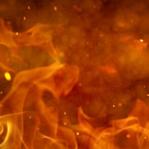
...HOT, DRY AND UNSTABLE ALONG WITH BREEZY WINDS TUESDAY THROUGH
THURSDAY...

High pressure that has brought the hot temperatures the past
weekend is showing signs of breaking down. The instability will
increase as a result, and the combination of hot, dry and unstable
weather warrants Red Flag Warnings. In addition, breezy winds
will develop through the Cascade gaps and into portions of the
Columbia Basin Wednesday and Thursday, and will coincide with low
relative humidities in the afternoon and evening.

...RED FLAG WARNING REMAINS IN EFFECT UNTIL 11 PM PDT THIS
EVENING FOR DRY AND UNSTABLE CONDITIONS FOR FIRE WEATHER ZONES
OR639 AND OR640...
...RED FLAG WARNING IN EFFECT FROM 2 PM TO 11 PM PDT WEDNESDAY
FOR WIND AND LOW RELATIVE HUMIDITY FOR FIRE WEATHER ZONES OR639
AND OR640...

The National Weather Service in Pendleton has issued a Red Flag
Warning for dry and unstable conditions followed by breezy winds
and low relative humidity, which is in effect Tuesday and
Wednesday.

* AFFECTED AREA...Fire Weather Zones 639 East Slopes of the
Northern Oregon Cascades and 640 Central Mountains of Oregon.

* TIMING...Today through Wednesday night.

* WINDS...Northwest 10 to 20 mph with gusts up to 30 mph.

* RELATIVE HUMIDITY...As low as 7 percent.

* TEMPERATURES...Up to 104.

* IMPACTS...Any new and existing fires have a strong potential
for extreme fire behavior.

* HAINES...As high as 6.

PRECAUTIONARY/PREPAREDNESS ACTIONS...

A Red Flag Warning means that critical fire weather conditions
are either occurring now, or will shortly. A combination of
strong winds, low relative humidity, and warm temperatures can
contribute to extreme fire behavior.

&&
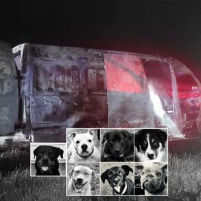
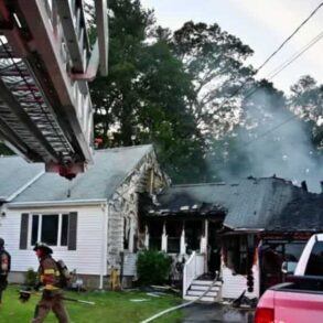
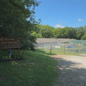
This post was originally published on this site be sure to check out more of their content.